When it comes to fighting fast-moving wildfires, information is key and until recently data from the sky had to wait.
Oftentimes, an air crew flies over a blaze, capture images, lands and works the data — soaking up crucial time as firefighters on the ground battle for a while without vital information.
But now a small plane equipped with a state-of-the-art camera and a satellite sits at the ready at the Joint Forces Training Base in
Right to firefighters' cell phones.
Between them, they can cover the entire state, each capable of hustling to a fire at 260-miles per hour.
With more than 40 years in the
Lane is an air traffic controller of sorts: He helps orchestrate attacks on fires.
"Up until just recently, (air crews) had to land, find a computer, find internet, put in a thumb drive, make their maps and send them to a computer," Lane said. "But to us, 30 minutes or one hour is like reading yesterday's newspapers.
"With this," he said, "we're able to have them (the images) within seconds."
From October until mid-April, the state is paying about $7.2 million to have the planes in
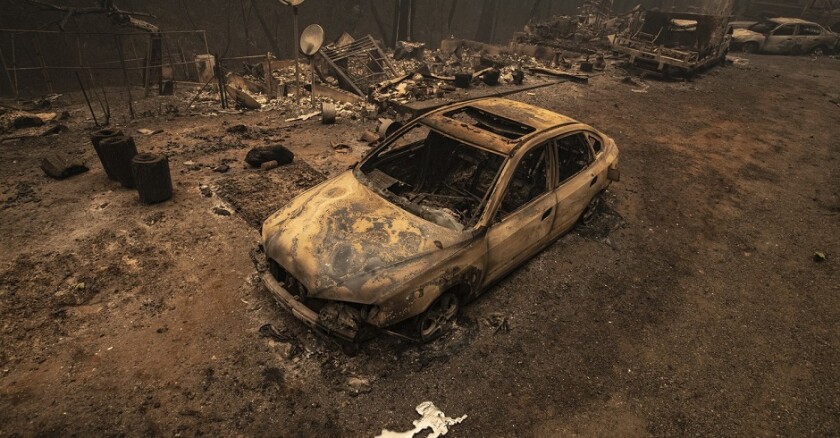
When the wind-driven Bond fire hit
Once airborne, the flight crew, typically three strong, used the infrared- and sensory-camera systems to create fire-perimeter and behavior maps among other visuals, and sent them with the onboard satellite system.
Data can be livestreamed, too.
The special camera created images of the Bond burning in one spot, but also projected, with different colors, the expected spread and size with forecasted times. Using infrared, the crew can map the perimeter of the fire and detect hotspots.
Software considers such factors as terrain, weather, wind, brush, trees, burn scars, structures and estimated pockets of people.
The photos show the areas around the epicenter, how many acres the fire could consume and how many homes it could hurt. With that insight, firefighters can better tell which homes must be evacuated.
"This really helps figure out where to get people out and where to take them to," Lane said. "It was highly accurate."
As many as 25,000 residents were told to flee their homes.
On some fires, the crew takes to the air multiple times.
Forecasting where a blaze can go is crucial and some expert firefighters do it manually, said
"A (fire-behavior analyst) would manually use information, like weather, topography, the last time the area burned ... and come up with calculations," Calvillo said. "Now, you have a computer that does that in minutes."
Calvillo, a 33-year veteran at the LAFD, has been involved with implementing the program with the planes and satellites.
The software helps firefighters make solid predictions.
"The model paints a very clear picture of the threats of the incident," he said. "And that becomes a very powerful tool."
As the fire changes, so do the models and projections, he said, allowing firefighters to alter their plans in tune with the blaze.
"For the incident commander on the ground ... they're just looking up at a big ball of fire burning up the hill," Lane said.
Oftentimes when fatalities and accidents occur during fires, Lane said, it's during chaotic periods when no one knows exactly where the fire is going. He hopes these cameras and technology become the norm and help avoid that.
"I think this has the capability of actually saving lives, not only on the firefighter side but on the civilian side," he said.
(c)2021 The Orange County Register (Santa Ana, Calif.). Distributed by Tribune Content Agency, LLC.


