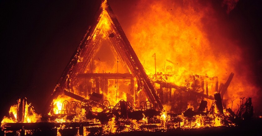
The Park Fire, burning across the Sierra foothills north of Chico, had exploded into the second-largest single wildfire to have burned in California history. The city was socked in. Its county fairgrounds were again transformed into mission control for a massive firefight.
Since 2020, three of the 15 largest wildfires in state history have ignited in Butte County, and then burned across vast swaths of the Sierra and southern Cascades, collectively scorching nearly 1.7 million acres.
"It's just crummy — it's Groundhog Day," said Laurie, who lost his Paradise home and narrowly escaped death during the 2018 Camp Fire. "It could be like this clear now past Halloween. We're only at the front door of fire season."
The record-setting big blazes that began in Butte don't even include the uniquely devastating Camp Fire, which all but destroyed the town of Paradise and killed 85 people. Though more destructive, the Camp Fire scarred only about 40% of the acreage burned by the Park Fire, which had consumed 401,740 acres by Monday.
The Park Fire is the second-largest single wildfire and the fourth-largest when including wildfire complexes, which are clusters of fires such as the 2018 Mendocino and 2020 August complex fires that collectively burned the vast majority of the Mendocino National Forest.
In Butte County, recent fires include the 2015 Butte Fire, 2020 Bear Fire (part of the North Complex group of lightning-caused wildfires) and the nearly million-acre Dixie Fire, which was ignited in the Feather River Canyon by power lines in 2021 and burned across five counties.
"It's not that Butte County has a monopoly on wildfires," said Kevin Osborne, a fire behavior analyst with the U.S. Forest Service. "But Butte County has had some really destructive fires."
Lake, Plumas and Napa counties have, proportionately, experienced the greatest impact from wildfires since 2000. Respectively, 65%, 63% and 57% of those counties have burned, according to a Chronicle analysis of wildfire data. Butte County ranks seventh out of the state's 58 counties in that misery metric.
Fire has scorched about 40% of Butte County since 2000. The unburned 60% mostly sprawls across the Sacramento Valley floor.
The county's types of vegetation and often hot, windy weather during the state's most fiery months have made it especially susceptible to fire, Osborne said.
The western edge of the county rises from the valley into undulating grasslands, then rugged oak savannah, chaparral and Sierra Nevada forests. Its rugged terrain throws obstacles at firefighting crews trying to stop a blaze's progress. There are few features, like major roads, to help stop wildfires.
"Every start has the potential to get very large," Osborne said.
Zeke Lunder, a Chico-based fire analyst and geographer, said his career used to take him up and down the West Coast, but repeated wildfires in his own backyard have kept him home.
Hulking coastal mountains in the Mendocino National Forest shield the northern Sacramento Valley from some coastal storm systems. And the globe's warming climate has created a thirstier atmosphere, whisking moisture out of the foothills and exacerbating fire risk, said Lunder, whose fire maps and YouTube updates have become essential resources for fire evacuees across the state.
The Park Fire has burned north across a roughly 40-mile path from a park on the outskirts of Chico into the southern Cascades — a trajectory Lunder wouldn't have expected in the past.
"I can't track fires in Washington State or even San Diego anymore," Lunder said. "There's plenty of work here that I can see from the roof of my house in Chico."
©2024 the San Francisco Chronicle. Distributed by Tribune Content Agency, LLC.


